TheDroneMap.com Now shows Local Authority Data & More!
The latest map update now shows Local Authority Data, plus Parks, Schools & Colleges, to help with flight safety & situational awareness.
TheDroneMap.com has introduced new map features to help UK drone pilots improve flight safety and situational awareness. Users can now access local authority drone policies, bylaws and Public Spaces Protection Orders (PSPOs), alongside new map layers showing parks, schools and colleges.
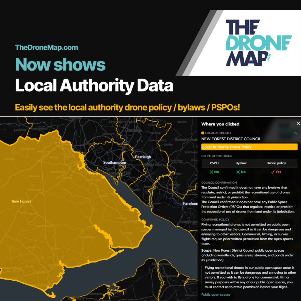
Local Authority Data:
Easily see the local authority drone policy / bylaws / PSPOs!
- To view Local Authority Data by local authority area, click the Map Type Icon (Top Left hand Side) and change to ‘Local Authority’, then click on the local authority area to view the policy / PSPO / bylaw information for that local authority.
- Alternatively, to view Local Authority Data in normal map mode, click on a park in a particular area and the local authority information (drone policy / PSPO / bylaws) for that authority will show – giving you the information you need to know for flying in that park.
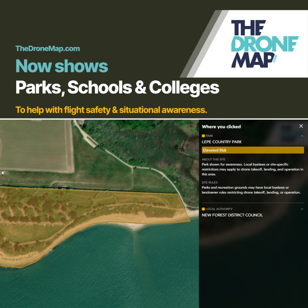
Parks, Schools & Colleges:
- To view Parks, Schools & Colleges simply select from the Layers Drop Down menu.
Not an FPV UK Member?
Membership – Rapid rules and regulations guidance, public liability insurance, access to exclusive partner discounts and offers, plus many other benefits designed to support drone flyers.
Discover all the benefits of becoming an FPV UK member here. fpvuk.org/membership-benefits/
The Community
DroneHub - the FPV UK drone community hub
Connect with our super-friendly drone community
Join us on DroneHub.co.ukWorking With